See the whole picture
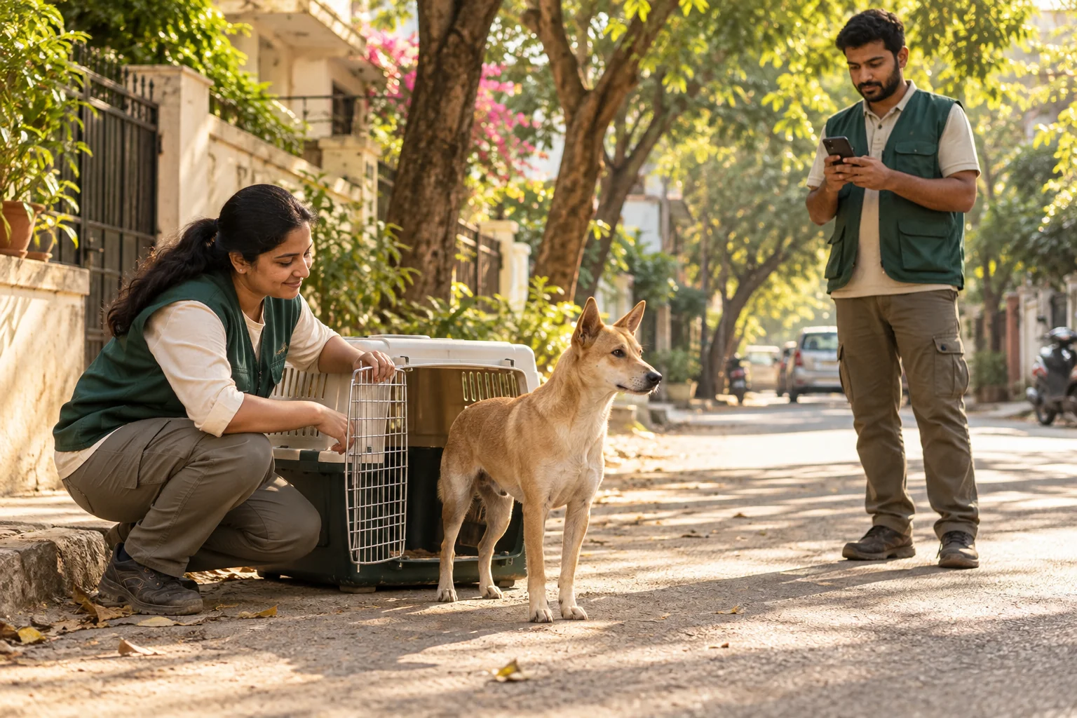
A connected animal registry pairs RFID identity with proposed AI recognition of facial and body patterns, helping care teams follow each dog’s identity and health history.
CONNECTED CARE FOR INDIAN CITIES
From busy city wards to familiar neighbourhood lanes, a better future starts with caring for every life. PawLink brings citizens, care teams, and municipal corporations together for humane community dog management.
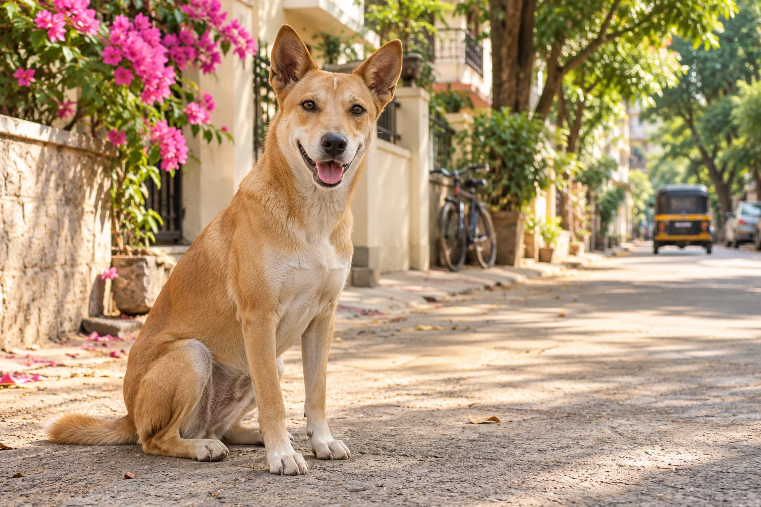 Every life deserves to be seen.AI CONCEPT PHOTO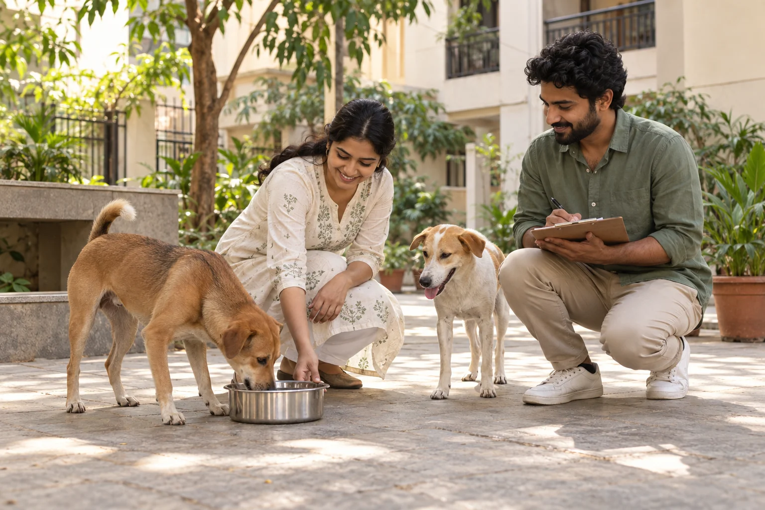
A shared city.
A shared responsibility.
01 / OUR PURPOSE
Public safety and animal welfare belong in the same conversation. PawLink is designed to make that conversation actionable.
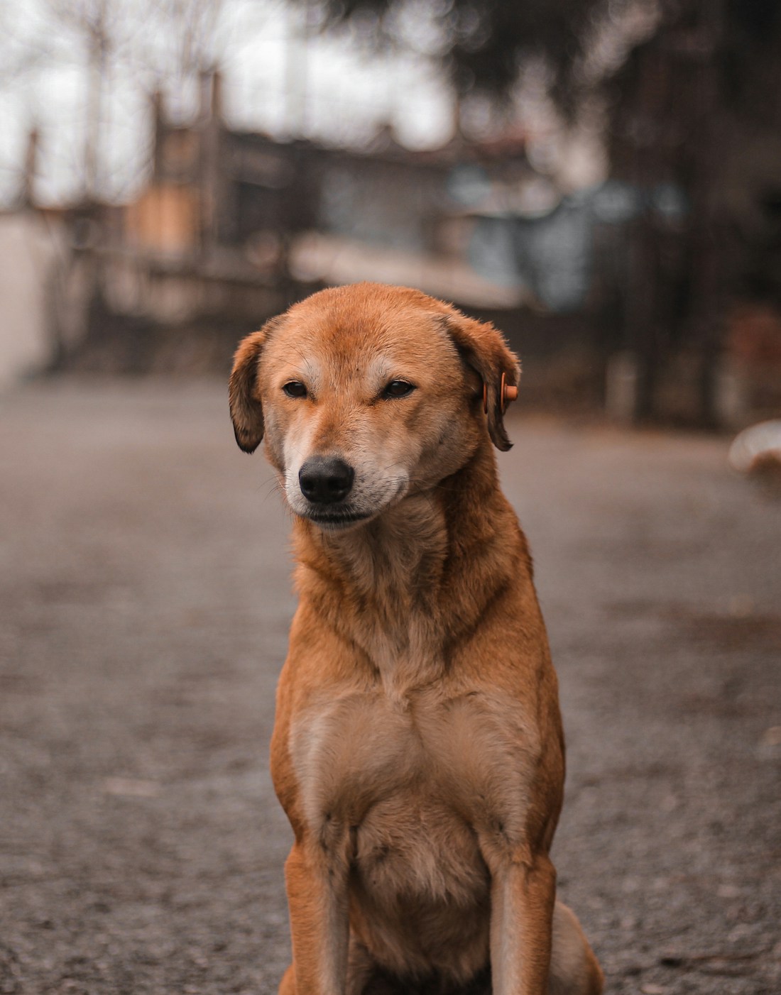
A digital bridge between community dogs, the teams that care for them, and the people who live alongside them.
Read the project visionA connected animal registry pairs RFID identity with proposed AI recognition of facial and body patterns, helping care teams follow each dog’s identity and health history.
Link identification, sterilisation, vaccination, recovery, and release so that care can be followed from start to finish.
Connect citizen concerns to accountable field responses, helping communities work together with greater clarity and compassion.
ROOTED IN EVERYDAY INDIA
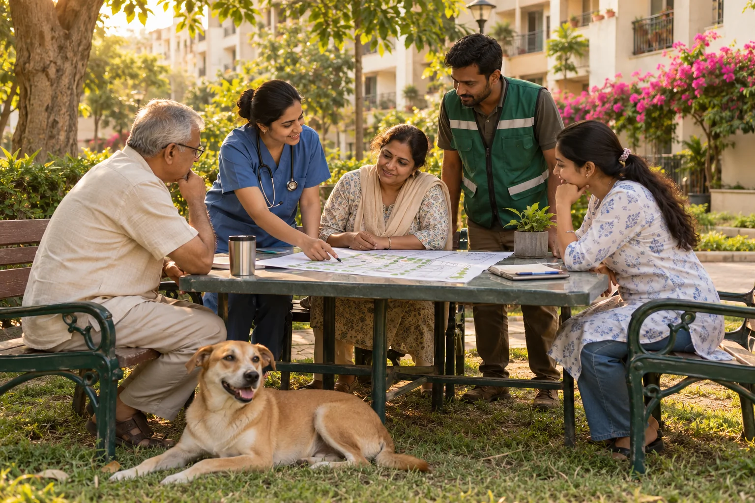
Community dogs are part of the places we call home. PawLink’s vision connects the people around them—from a resident raising a concern to a ward team coordinating care.
02 / HOW PAWLINK WORKS
Every stage has a story. Select a photo to follow the journey.
See how one connected identity carries care forward.
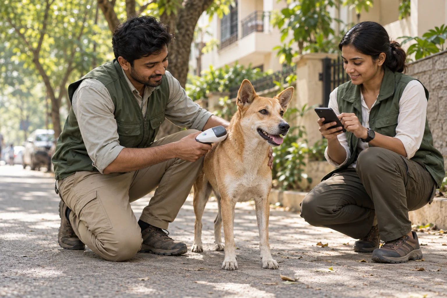
STAGE 01 / IDENTIFY & LOCATE
An RFID identity and location record connect a community dog to its ward, creating a consistent starting point for every care intervention.
03 / FOR MUNICIPAL CORPORATIONS
Turn disconnected field activity into coordinated municipal action—with the information to plan, verify, and improve.


Use GIS maps to understand dog populations, vaccination coverage, and reported incident clusters. Direct resources where they are needed.

Connect field records, vehicle routes, and NGO activity to documented interventions for clearer contractor performance and oversight.

Route citizen concerns to the relevant ward team, track response timelines, and link ticket resolution to evidence of field action.
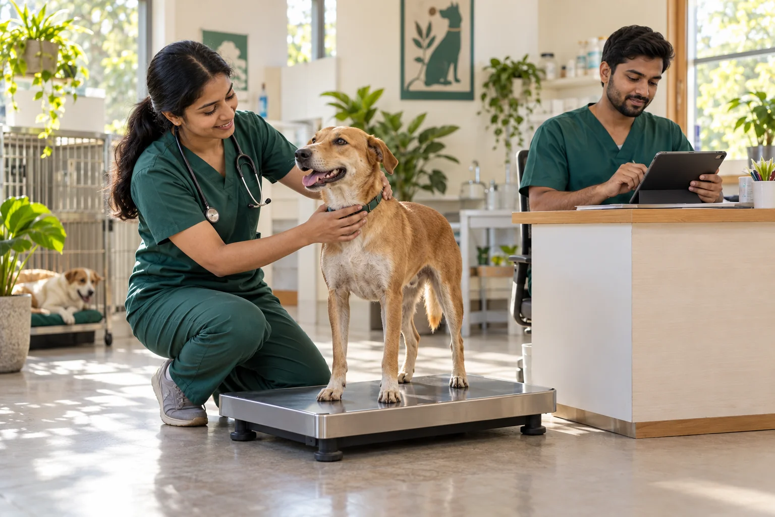
Bring animal identity, veterinary sign-offs, and care history together to support reporting and reduce duplicate or fragmented entries.
Your city’s data. Your city’s control.Designed for on-premise deployment and role-based access.
04 / FOR EVERY CITIZEN
You don’t have to do everything to make a difference. Small, thoughtful actions help build safer neighbourhoods for people and community dogs.
Compassion works best
when we act together.
YOUR NEIGHBOURHOOD ACTION CHECKLIST 0 / 4
FIND YOUR PART IN THE JOURNEY
PawLink’s planned civic workflow links neighbourhood concerns with the people equipped to respond.
Note what happened, where, and when. Clear information helps the relevant team understand the situation.
The proposed platform routes concerns to the designated ward officer, connecting civic requests with field operations.
Documented field action and linked care records are designed to make the response easier to track and review.
For concerns today, use your municipal corporation’s official channels. This website introduces the PawLink project.
A LITTLE MORE CLARITY
PawLink is a proposed digital platform for community dog management. Its project vision brings RFID identification, veterinary workflows, ward-level insights, and citizen grievances into a connected municipal system.
Municipal corporations, ward officers, veterinarians, NGO and field teams, resident welfare associations, and citizens—all with different roles in the same shared journey.
This website introduces the project. Live incident reporting is not connected here. For current concerns, use your municipal corporation’s official reporting channels. PawLink’s planned web and WhatsApp channels will depend on local deployment.
The proposed care workflow connects identity, intake, veterinary treatment, recovery, vaccination, and location-verified release. The goal is to make humane care more consistent, traceable, and coordinated.
The presentation proposes a 24-week rollout covering infrastructure, field operations, public channels, and support. Explore the deployment roadmap or download the project presentation to review the intended approach.
BETTER TOGETHER
Understand the vision. Start a conversation in your community.
Take the next step towards connected, compassionate care.